Places availables
Time
Viernes 27, 10:00 – 20:00
Venue
Sala de Cartografía y Maquetas del Museo de Historia de Madrid. Calle Fuencarral, 78. 28004, Madrid.
Collaborators
- Museo de Historia de Madrid
The general activity aims to show the major demographic changes taking place now in the world, such as fertility decline, population growth, ageing, health, migrations, urban transformations and rural depopulation, and how these changes will affect our lives in the future.
Three activities will be coordinated during The European Researchers' Night:
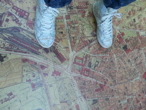
1) Imagining Madrid: urban maps and virtual reality
The first activity will consist of a visit to the Cartography and Models room of the Museum of History of Madrid during its opening hours (10am-20pm), where both the permanent exhibition of the Museum and the panels with interactive activities created by researchers from the Institute of Economics, Geography and Demography of the CSIC (IEGD) on the theme of the transformation of the population, especially in the city of Madrid, will be on display. It will be possible to see the advances in urban areas through the use of virtual reality glasses, thanks to the collaboration with the company ESRI Spain, leader in Geographic Information Systems (GIS) and partner of the European H2020 LONGPOP project.
2) Rebuilding Madrid: the images that tell the story of the city
From 10 a.m. to 8 p.m. it will also be possible to provide old photographs of Madrid, to be scanned and georeferenced on a map that will be built as visitors arrive. In this way, the room will become a living space of memories of the urban, social and demographic transformations of the Spanish capital with the contribution of citizens. Attendees will have the opportunity to participate in the georeferencing of the photographs on the maps and discover what uses it has in research in Social Sciences. The map will be projected in that same room all day long.
3) The population changes, Madrid is transformed
At 20:30 there will be a talk-workshop for a small group of 20 people that will be able to discover how the Spatial Data Infrastructure of Madrid (HISDI-MAD), the geoportal of cartography and historical demography for the city of Madrid, created by the IEGD, was developed. HISDI-MAD includes a cartographic and a sociodemographic viewer, as well as a comparator between historical and nowadays maps. The aim is for participants to experience first-hand the work of demographers and sociologists when working with longitudinal and current register data, such as Big Data. Using practical examples, participants will be able to see the results achieved through the interaction of space and population research. In addition, they will also be able to use virtual reality glasses and access the different panels with interactive activities and with the photographs collected and georeferenced throughout the day.